Crowders Mountain is a surprisingly rugged state park in Gaston County, NC. Its two peaks, The Pinnacle and Crowders Mountain, are challenging to summit and the trails leading there are more strenuous than their “moderate” rating lets on. We made the mistake of coming here when the boys were 3.5 and 5.5, which is way too young for the trails to the top. The boys enjoyed the lower section of the trail, climbing along the rocks on the side of the path, and having a picnic lunch, but we realized almost immediately that we had absolutely no shot at making it to the top at that point.
(Note that there are some great, family-friendly trails at Crowders Mountain. We just chose poorly at the time. But the Lake Trail and the Fern Trail are great for younger kids. You obviously won’t get the same views but they still offer a great way to experience the park.)
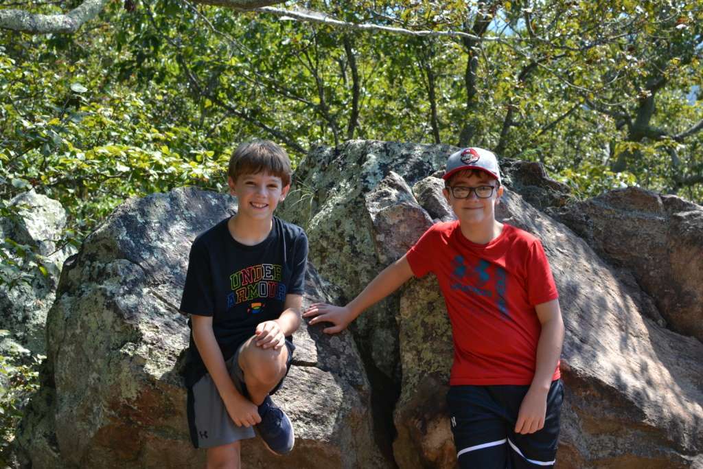
Fast forward 7 years and we decided to give the hike to the top a shot again with the boys. They are old enough and fairly experienced hikers at this point, so we figured they would be able to handle it.
Crowders Mountain State Park has three entrances – Linwood Road access is in Gastonia, and Sparrow Springs access and Boulders access are in Kings Mountain. Since we wanted to hike to the top, we went to the Sparrow Springs access, which is the starting point for both the Pinnacle Trail and the Crowders Trail. The visitor center at the Sparrow Springs entrance provides maps and park information, and those wishing to participate in rock climbing/bouldering/rappelling should register with the park staff inside.
Shortly after starting, the trails branch off in opposite directions, each heading to a different peak within the park. The Crowders Mountain peak is 1,625 feet high and the trail to reach it is 2.8 miles one way. Heading in the opposite direction, the Pinnacle Trail is shorter at 2 miles one way but leads to a higher peak. At 1,705 feet, the Pinnacle is the highest point in Gaston County.
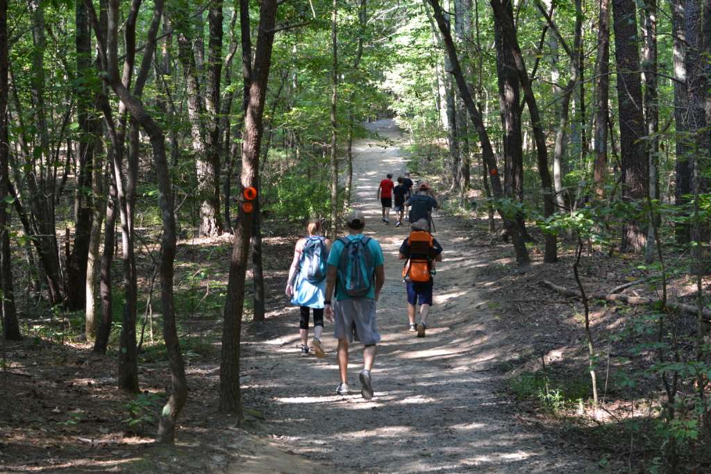
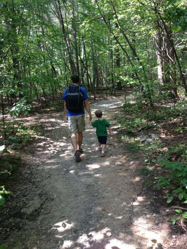
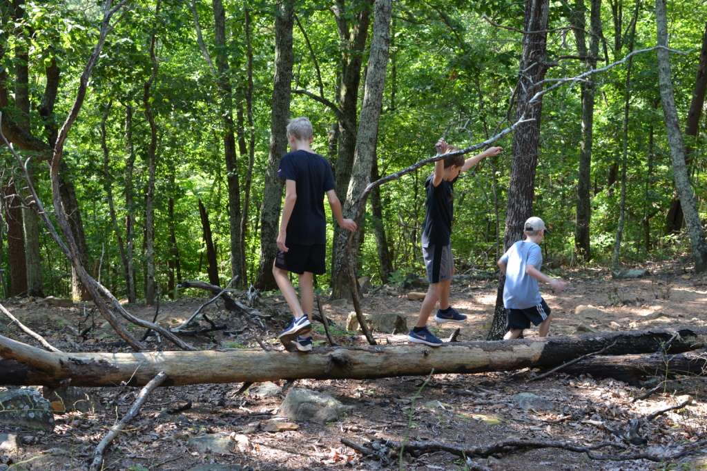
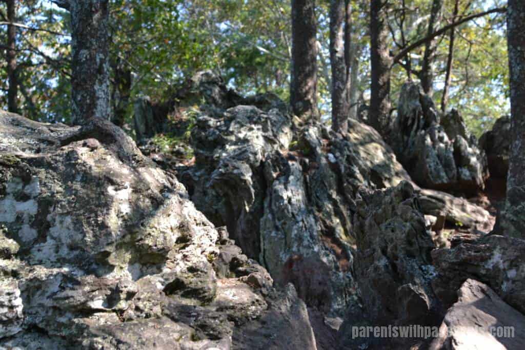
The trail started out as a wide, gravel path but soon turned rocky. At this age, the rocks and tree roots were less concerning for the kids, although everyone needed to watch their footing. But the boys thought it was a lot of fun to climb on the rocks and hop over fallen trees.
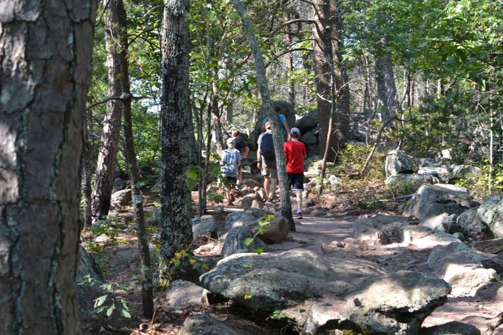
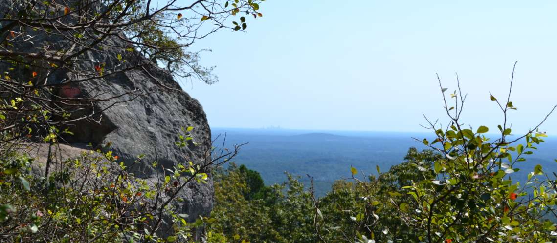
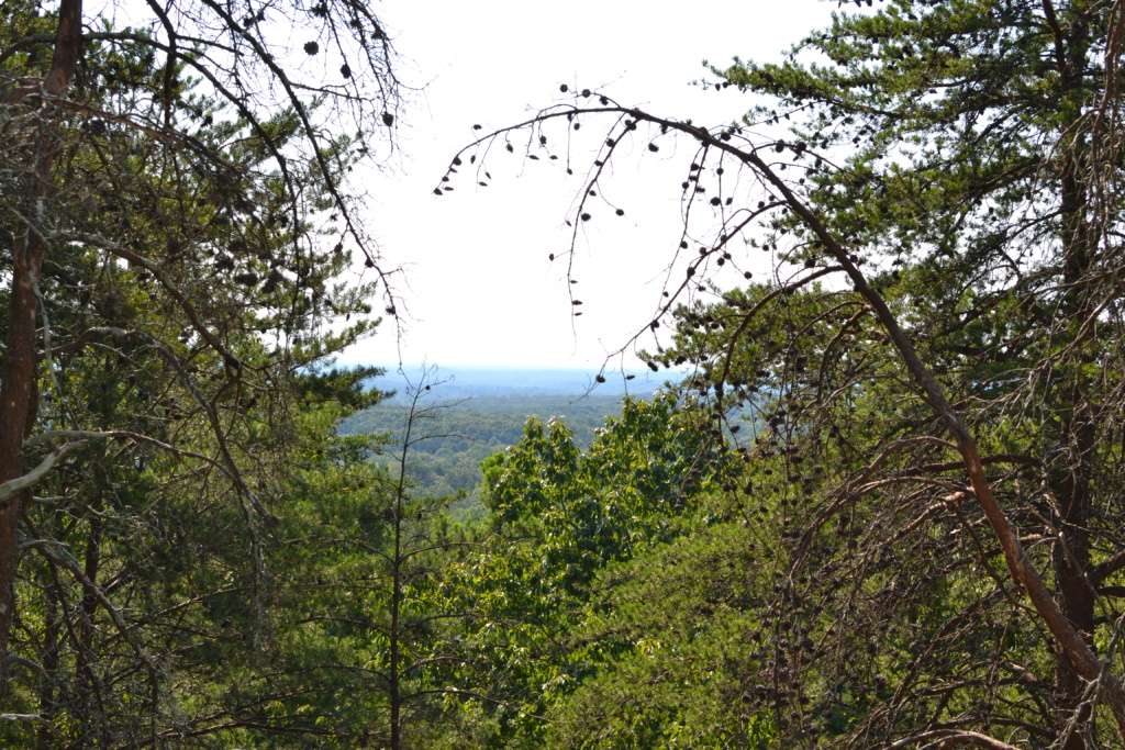
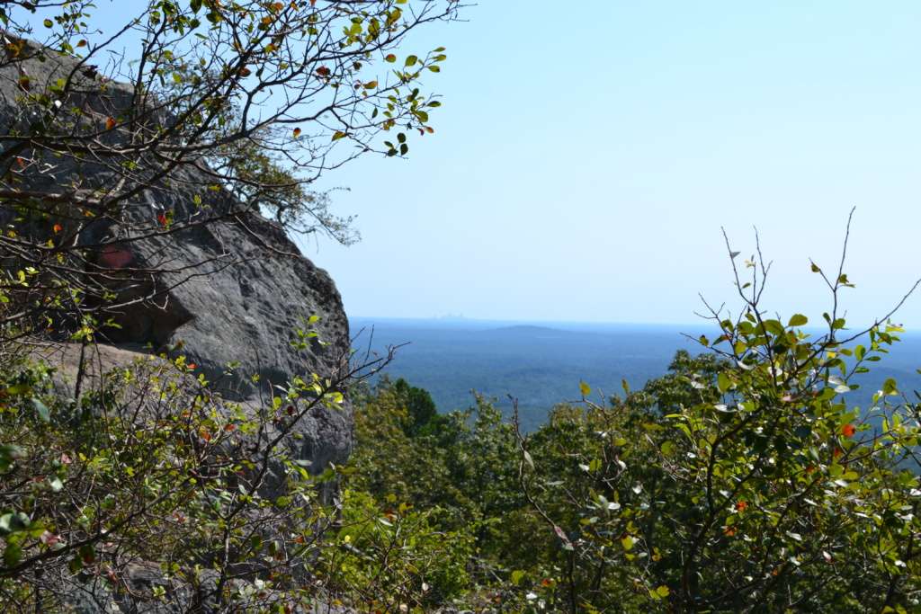
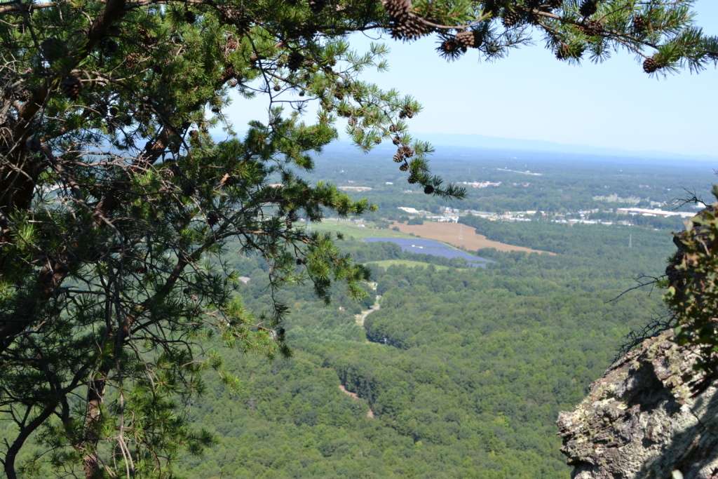
About half way up we got our first peek of a view from some large rocks on the side of the path.
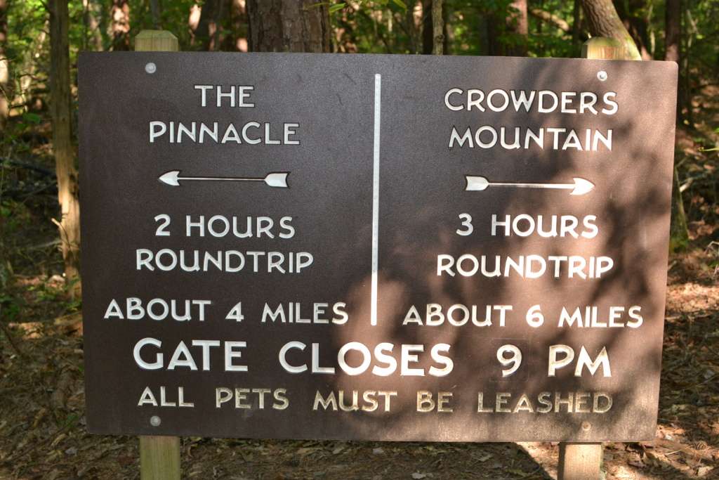
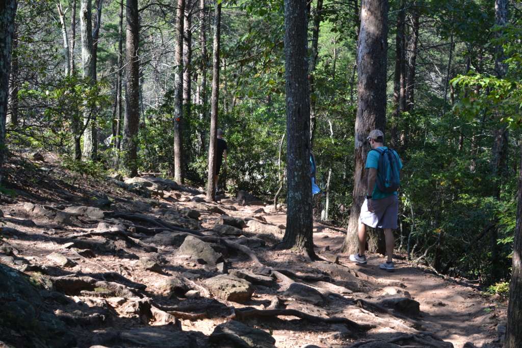
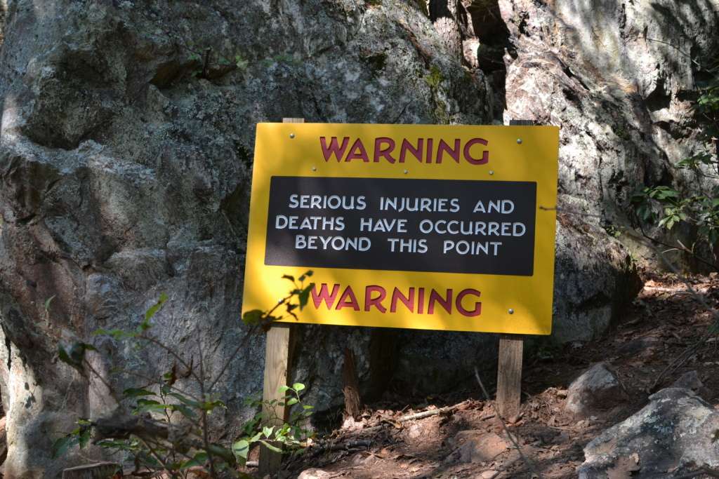
As we got closer to the top, the trail started to get steeper, rockier, and more challenging. We knew we were nearing the top when we saw this sign…
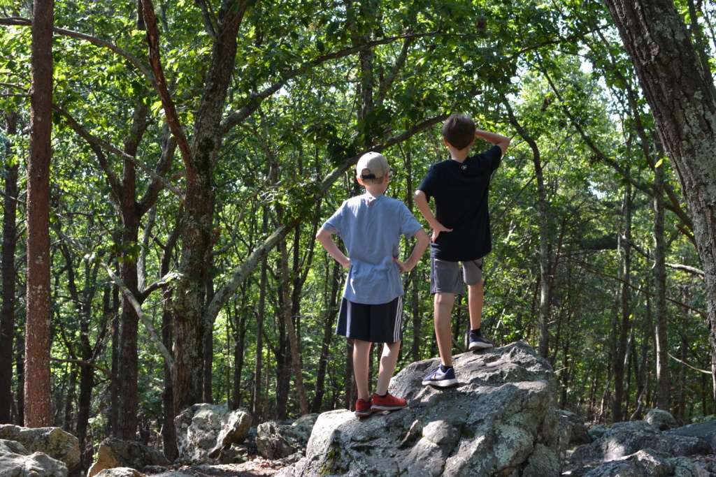
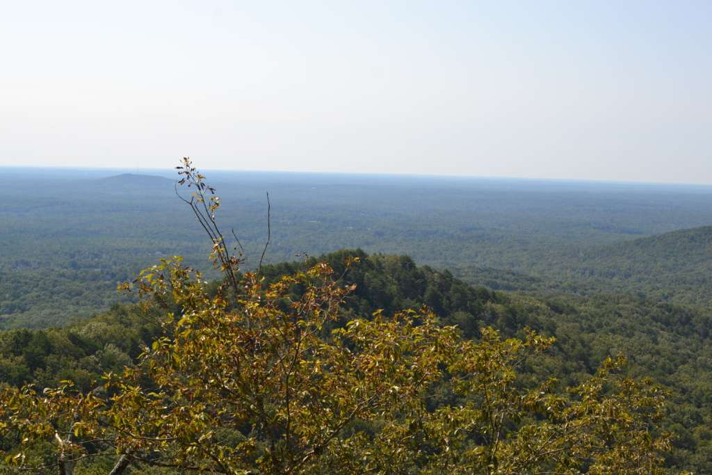
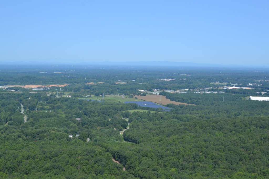
We came to a series of small openings off the side of the trail. Each had its own unique view of the surrounding area and far off in the distance we could see the Charlotte skyline. It was really pretty but I will admit to being confused about whether or not we had reached the summit. The trail was no longer obvious and people were stopping at the various vantage points to take pictures and then head back down. It seemed like we were at the end of the trail but there was no major opening or clearing like I had envisioned.
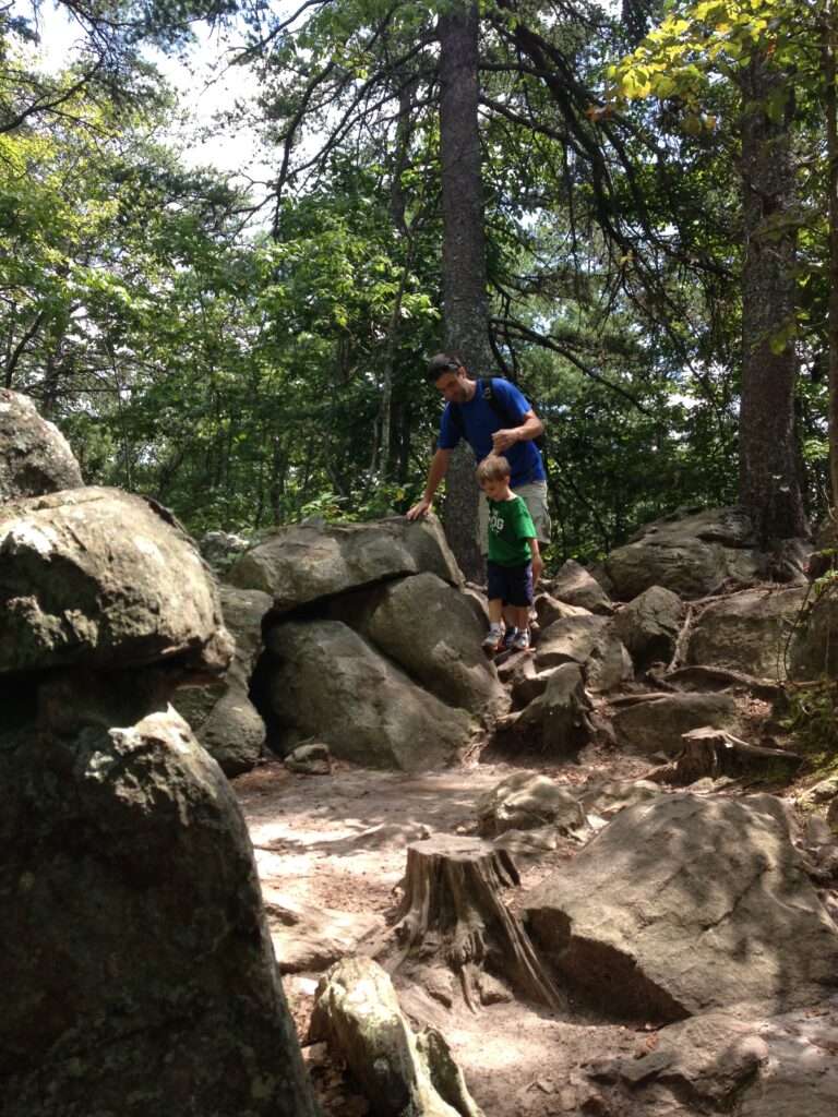
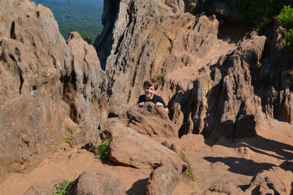
Fortunately, a group of people asked me to take their picture and after I did I asked them if the trail continued. They said it did and pointed to a large pile of rocks that you had to climb over and through to continue on the trail. I’m glad I asked because I never would have thought to continue along in that direction. It looked nothing like a trail and there were no markings or signs.
So we scampered over the rocks, waited our turn to pass through a narrow one-way passageway, and finally came to the top. At least I think it was the top. Again, the absence of trail markings or signs made it difficult to know for sure if we had reached the summit or if we were even still on the trail at all. But we came to a small open area with dramatic rocky outcroppings and a view for miles.
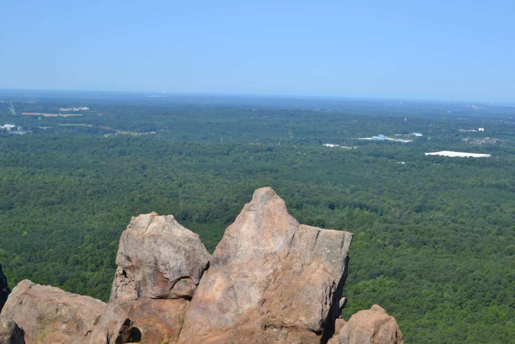
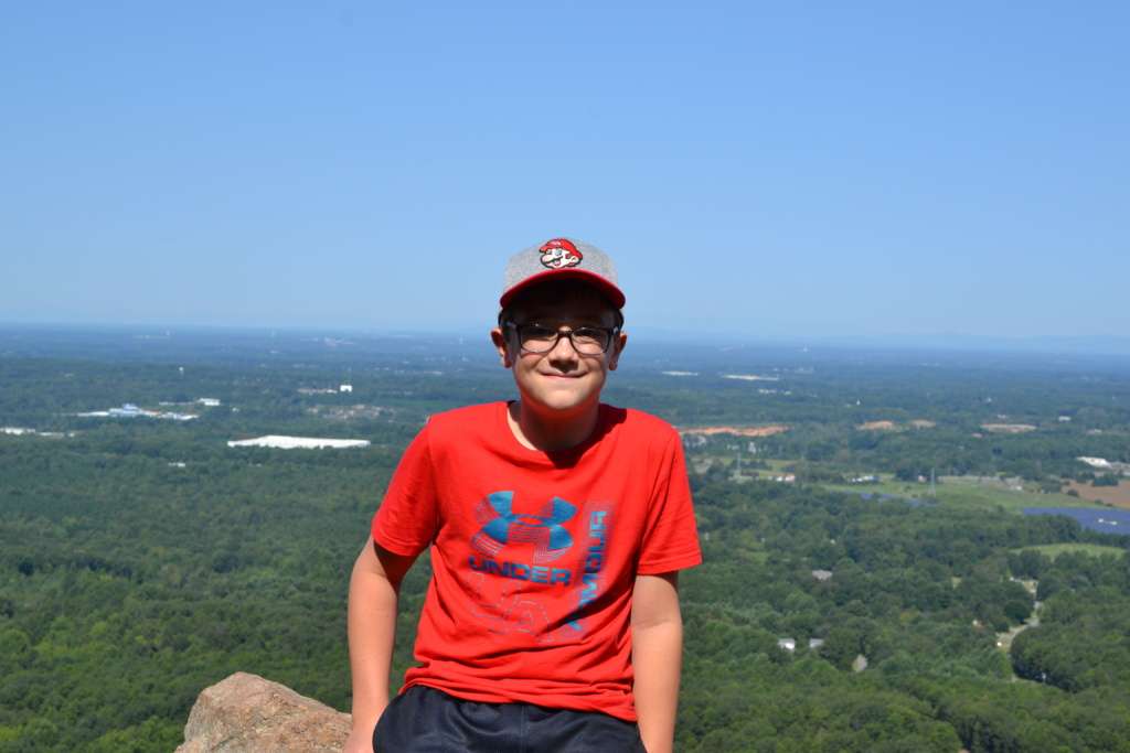
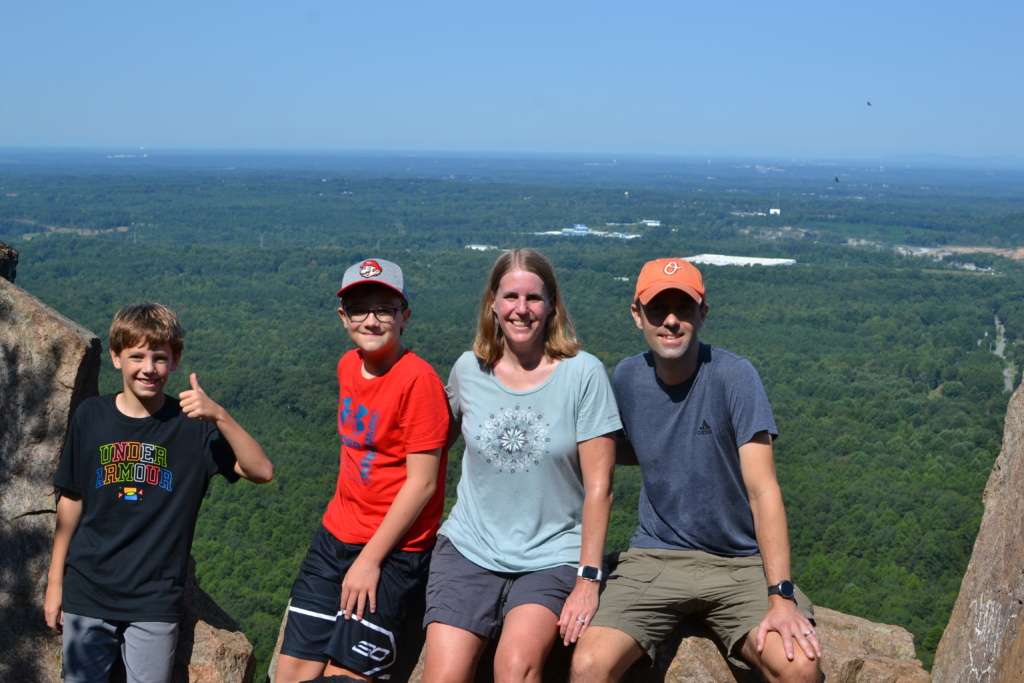
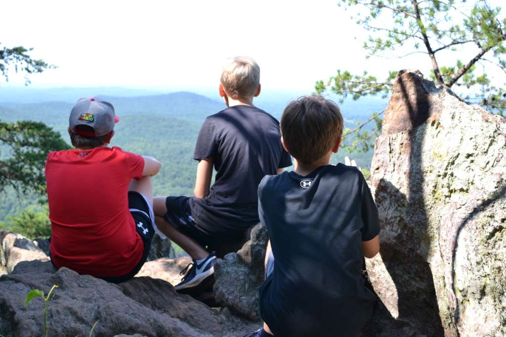
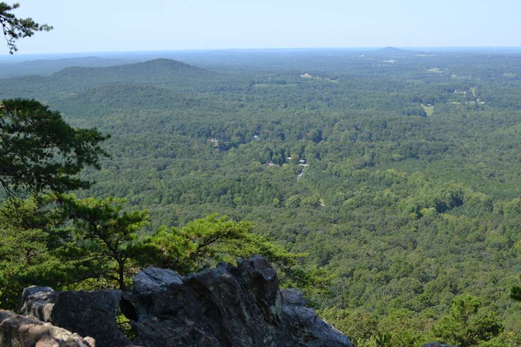
We sat for a while to cool off, catch our breath, and enjoy the views. The end section of the trail was definitely challenging, both due to how steep it was and how rocky it was. (And the way back down was even tougher on the knees!) But we thought the hike was well worth it. The views were impressive and we all felt like we had accomplished something on our Labor Day (and 18th anniversary!) outing.
Were we actually at the top? I thought so but as I started to head back down, I noticed some people coming back on a small trail from the other direction. Was there more? I wanted to follow it to see where it led but I was already trailing behind my group, who had started back down while I took some last photos. Internet research since returning leads me to believe that we were at the top but I guess we would have to hike all the way back up to know for sure if the other trail led anywhere. But regardless of whether there was another view around the corner, we fully appreciated the ones we had.
So after an ill-planned first outing to Crowders Mountain years ago, we enjoyed the adventure of getting to the summit with our two older boys. While the highlight of the first trip was a picnic lunch of PBJ, goldfish and fruit snacks, this time around they were able to enjoy nature’s highlights as well.