When gold was discovered in the Klondike River in 1896, it set off the Klondike Gold Rush. Some 100,000 stampeders came to the area between 1896 and 1899 in search of gold. They had two options to get to the Klondike, located some 600 miles from Skagway over treacherous mountains: the Chilkoot Trail or the White Pass Trail. The Chilkoot Trail was shorter but steeper, and since the Canadian government required each person to carry a year’s worth of supplies (weighing roughly one ton) on their journey, it was extremely challenging. The White Pass Trail was longer but less steep. Many chose this trail because they could use pack animals to carry their gear, although some 3,000 horses died in the process. Neither was a good option.
As the gold rush continued, it became obvious that a safer and easier way to travel to the Klondike was needed. London investor Sir Thomas Tancrede and railroad contractor Michael Heney created the White Pass & Yukon Railroad Company and started construction on a railroad in May 1898. Although construction through the mountains was extremely challenging and expensive, it took them only 8 months to build the 20.4 mile stretch from Skagway to White Pass Summit.
The railway eliminated the need for prospectors to trek the dangerous trails, but of course, the gold rush ended in 1899 when it became obvious there was little gold left to be found. There were, however, other metals such as copper, silver, and lead that were beginning to be mined in the area. The railroad was used to carry the ores to the port in Skagway. In later years it was also used to carry supplies to the US Army’s Alaska Highway construction project during World War II. But in 1982, the White Pass & Yukon Route officially closed down.
Six years later it reopened as a tourist attraction and today is one of the most popular cruise ship excursions from Skagway. With its vintage parlor cars and stunning scenic route, it is a truly unique experience to ride the White Pass & Yukon Route.
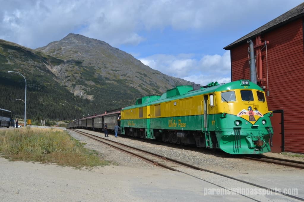
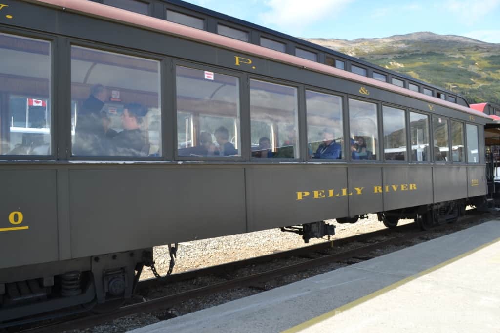
One of the benefits of booking our excursion through Chilkoot Charters & Tours was that we had a reserved train car just for our group. It was so nice to know that our family would be seated together and we wouldn’t be crowded for space. The train car probably sat about 40 people but we only had 20 in our tour group so we had space to spread out.
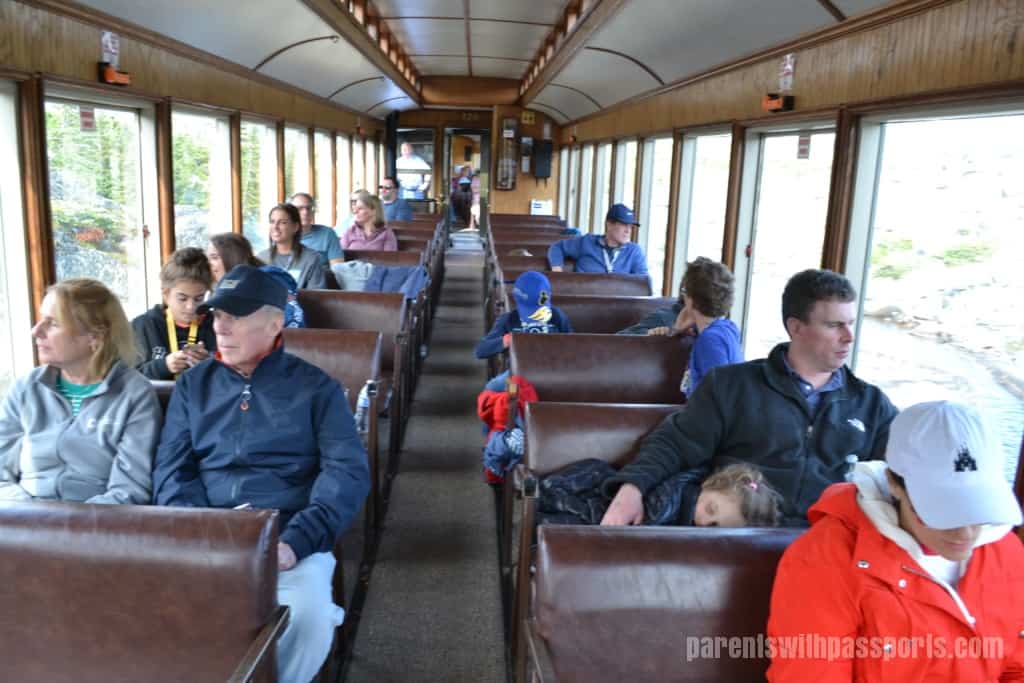
The service on the train was great. Each car had a cooler with free bottles of water. Kids were given an activity book and everyone got a guidebook so you could follow along on the 27 mile route. The ride was narrated and employees came through the cars to answer any questions. (They also came through to sell things like hats and DVDs but were not at all pushy.) Each car also had an outdoor viewing platform at the front and back, and with a half-empty car we were always able to get a great view when we went outside.
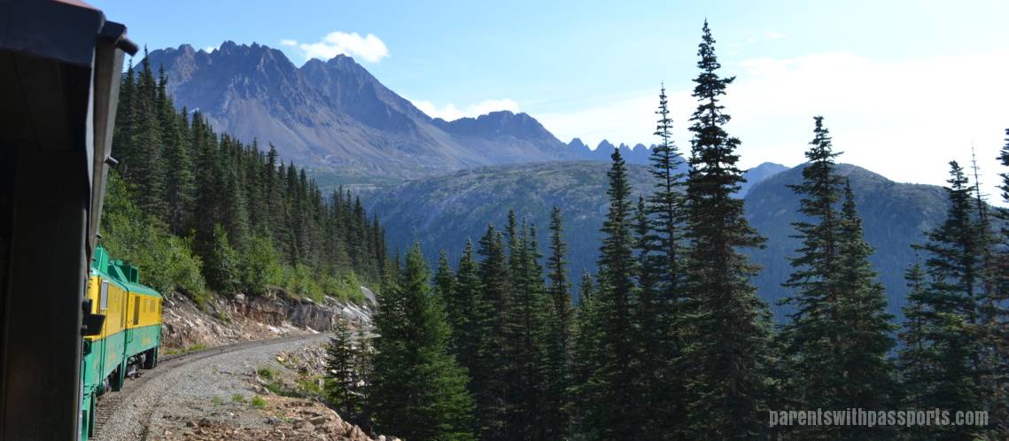
The train ride started in Fraser, BC at an altitude of 2,767 feet. After climbing another 100 feet or so to the summit, we crossed the border back into the US and began our gradual descent back to sea level. Some of the highlights along the way included the Trail of ’98, Steel Bridge, Dead Horse Gulch, and Inspiration Point.
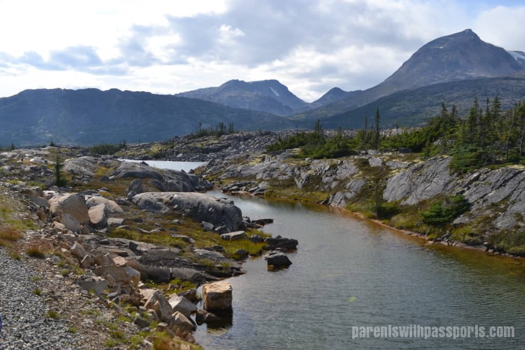
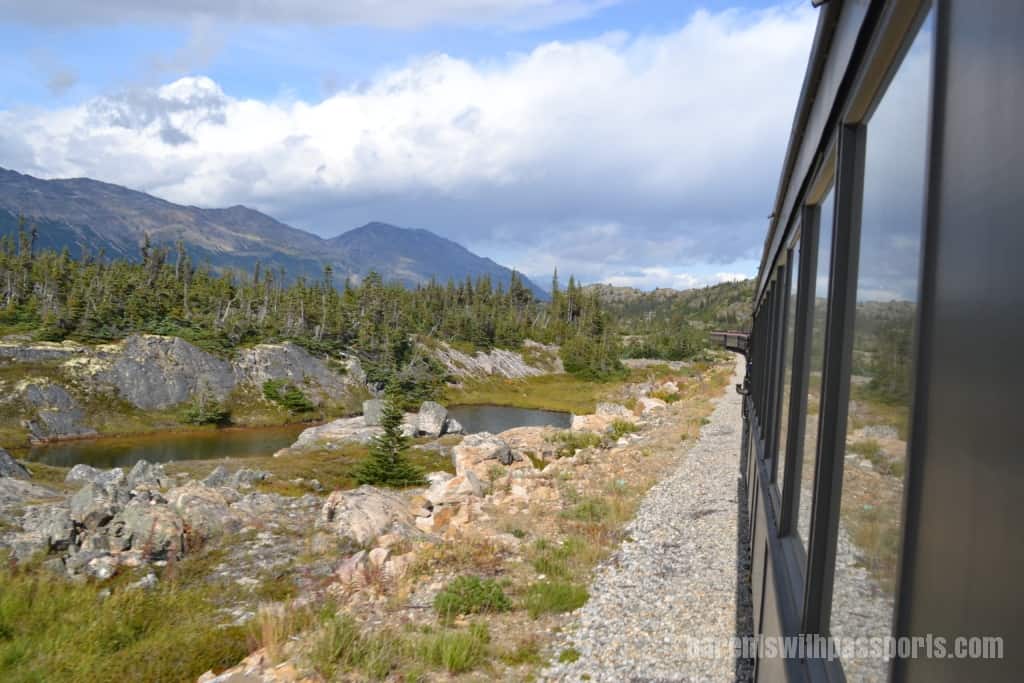
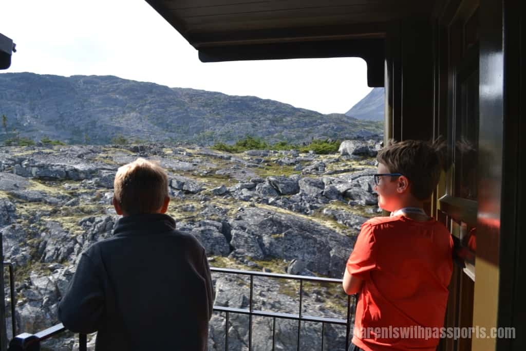
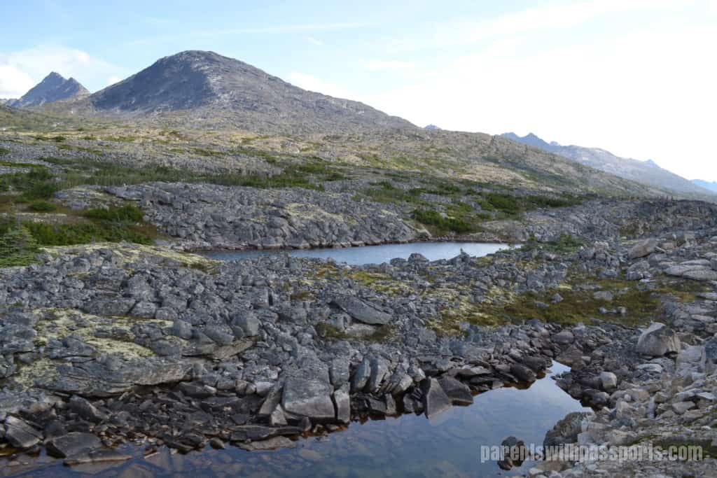
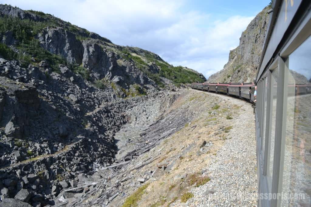
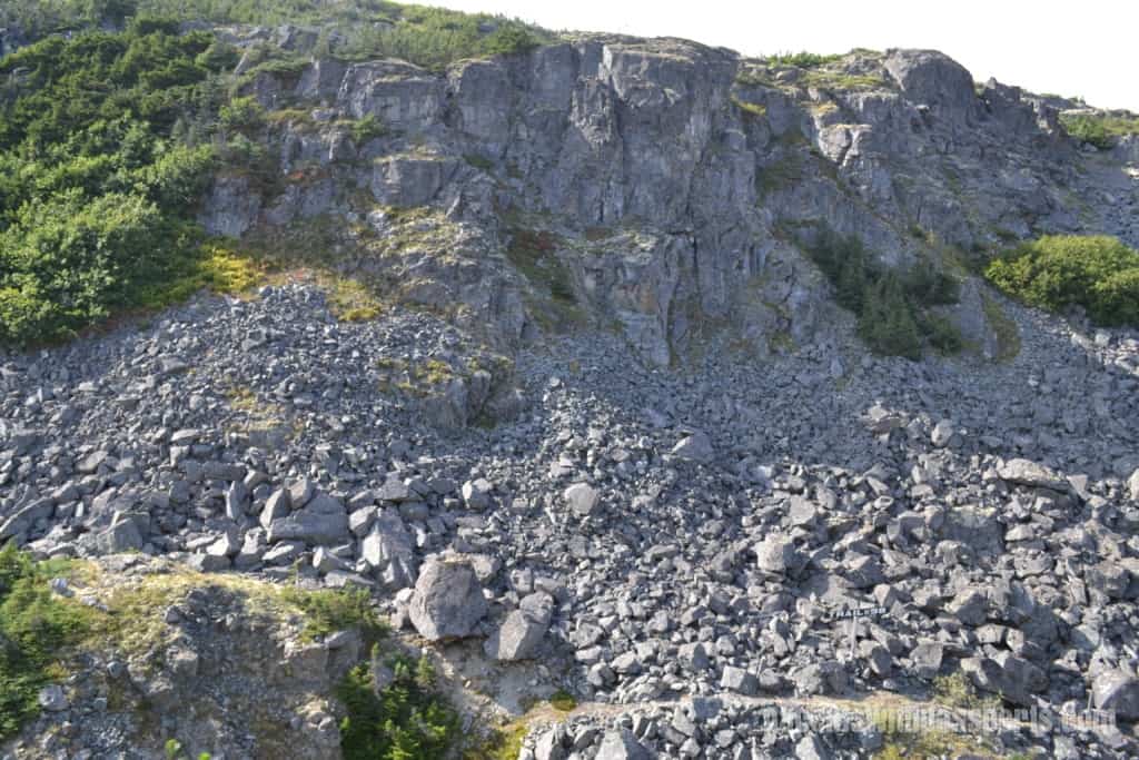
The landscape through this area became increasingly rocky with fewer trees as we travelled through the sub-alpine ecosystem.
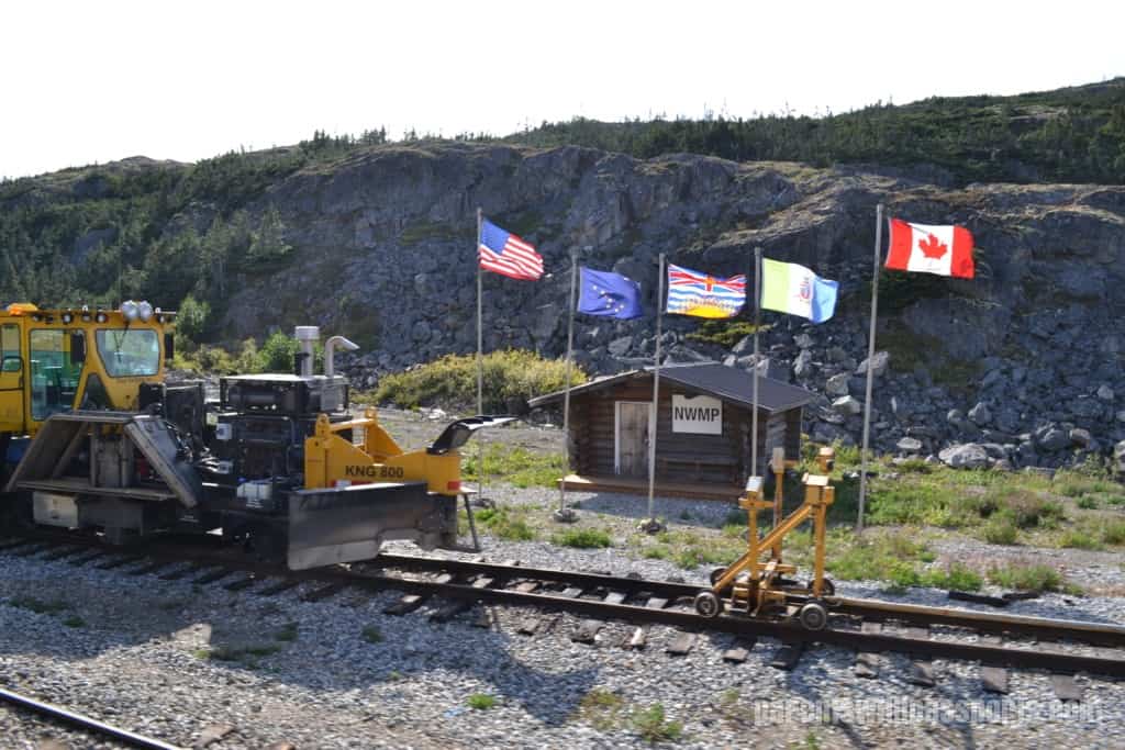
We passed the US – Canada border and then a restored North West Mounted Police cabin. Prospectors had to pass through this inspection point where they would be checked to ensure they had a year’s worth of provisions before being allowed to proceed. From left to right, the flags of the US, Alaska, British Columbia, Yukon, and Canada are flying.
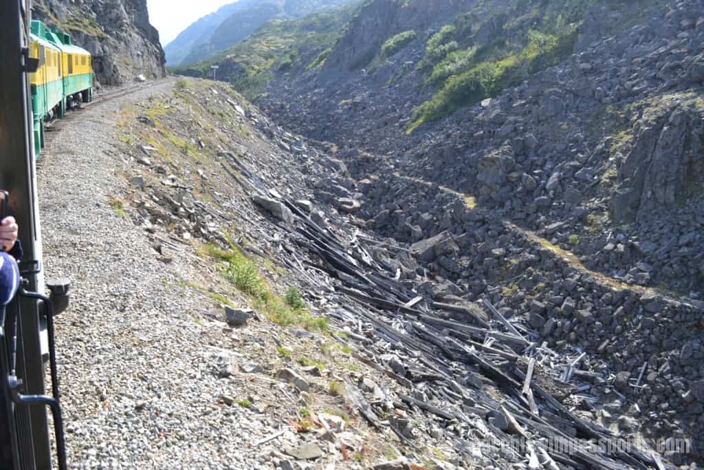
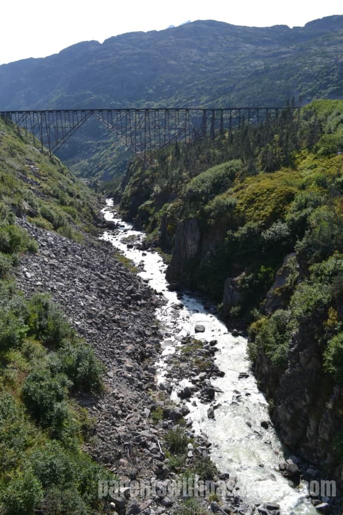
It was amazing to get to see the remains of the Trail of ’98, also known as Dead Horse Trail. The path was narrower than I had imagined. Just a thin line winding its way along the rocky mountain edge, it was difficult to imagine tens of thousands of people traversing this narrow path with a year’s worth of gear and supplies on their backs.
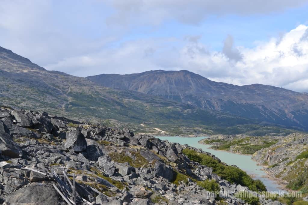
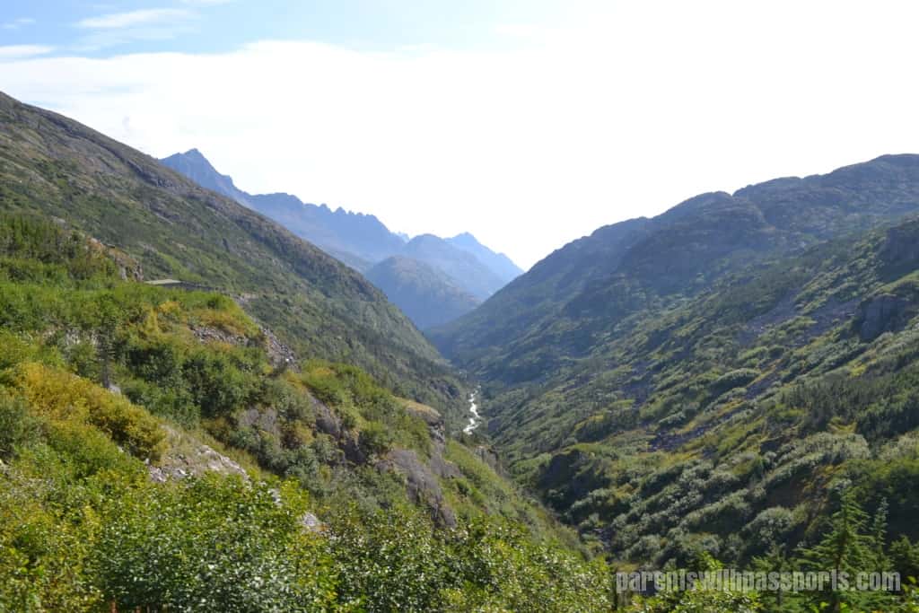
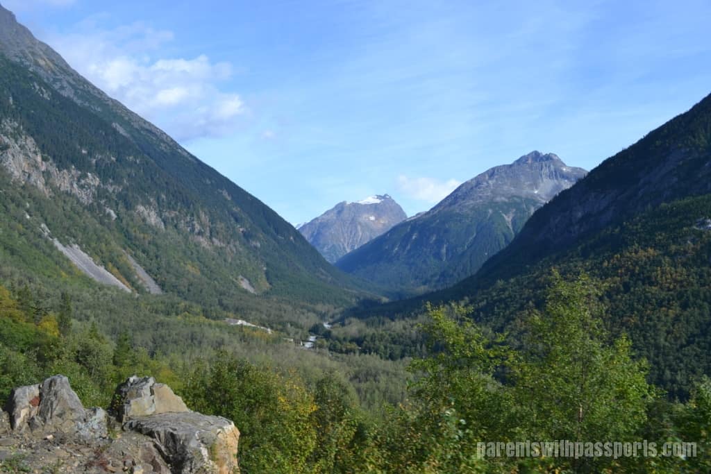
As we got lower, the scenery started to look greener and less rocky.
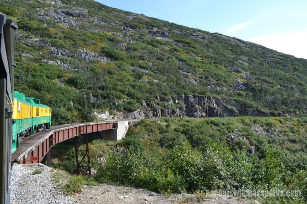
Next we passed an old steel cantilever bridge that crossed over a 1,000 foot wide chasm known as Dead Horse Gulch. At the time of its construction in 1901, it was the tallest cantilever bridge in the world. Engineering feats like this bridge led to the White Pass & Yukon Route’s designation as an International Historic Civil Engineering Landmark. While it was certainly an engineering marvel, I was glad that it was a marvel that is no longer in service (and hope that it was in better condition when it was!). The bridge became obsolete in 1969 when a tunnel was blasted through the mountain.
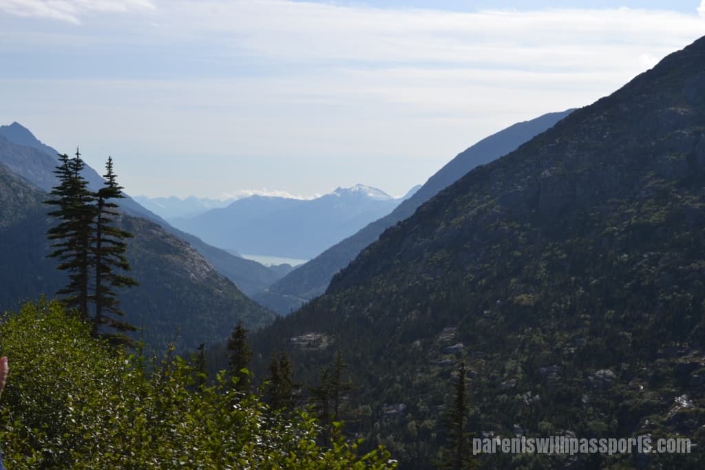
Next up was the aptly named Inspiration Point. From here we had an incredible view of Lynn Canal, Mount Harding, and the Chilkat Range.
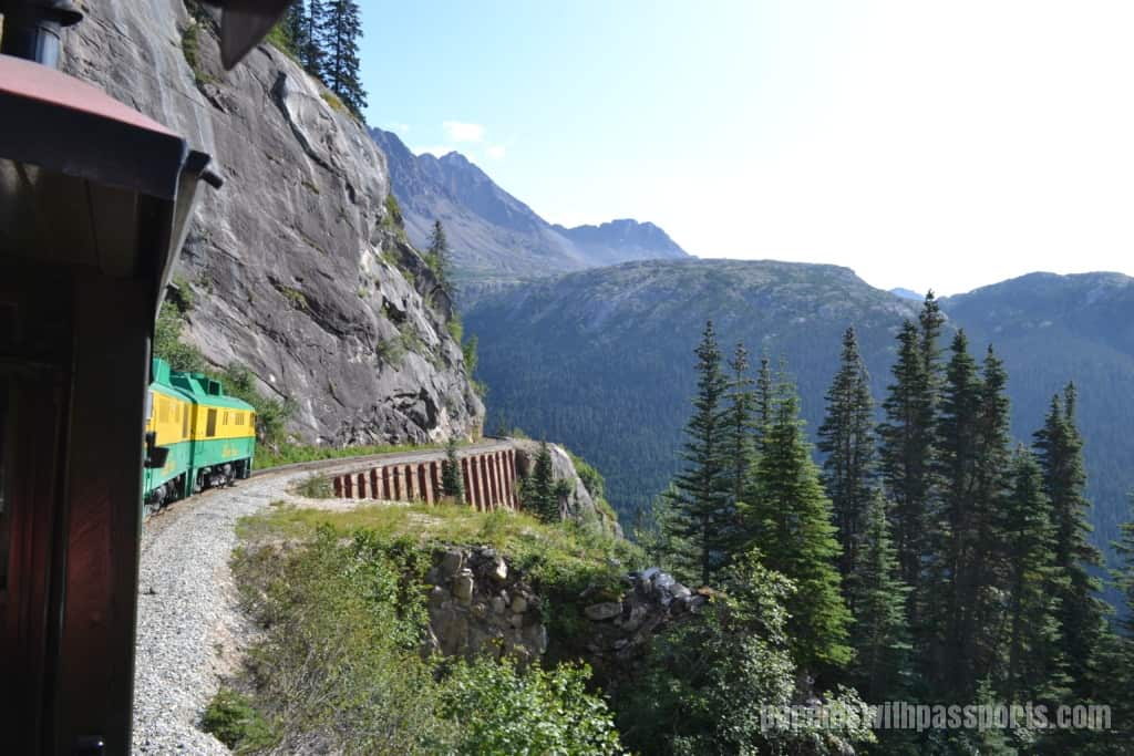
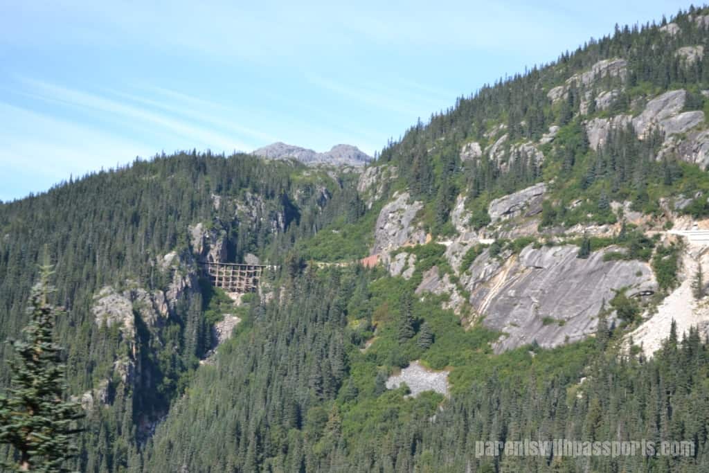
After Inspiration Point we went through Tunnel Mountain. After exiting the tunnel, the steep, sheer rock wall of Slippery Rock was inches away from the left side of the train. To the very immediate right was a steep drop-off (1,000 feet!) to the gulch below. This section gave new meaning to the term “narrow gauge railway”. But it wasn’t until we wrapped around and got a view of it from across the way that I realized both how steep the cliff was and how rickety the wooden trestle we had crossed over was.
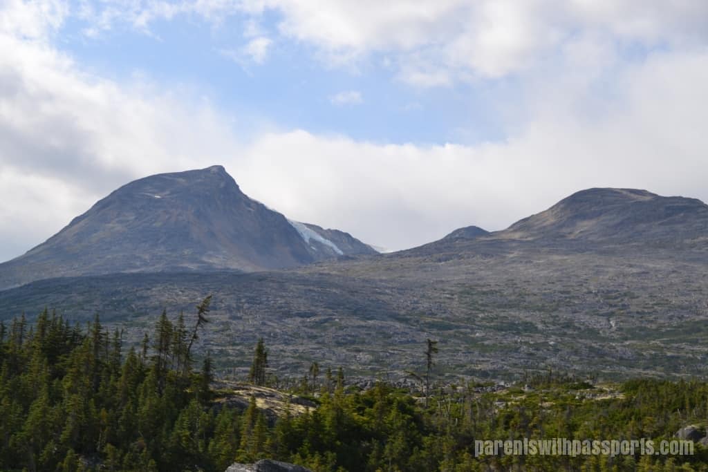
We wound our way back down towards Skagway. Mount Harding was getting closer, its mountain-top glacier visible, and we followed the Skagway River back into town.
I had been blown away by the scenery on our journey up, and the journey back down was no different. We saw many of the same things but from different vantage points (and with sunny skies). There was just something magical about watching the world go by from a vintage train car that made this an experience we will never forget.